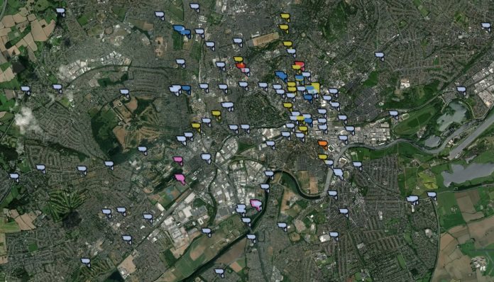
This map contains location data to street level for all bus lane enforcement, red light, ANPR, average speed and speed cameras in Nottinghamshire. Latest city council data January 2021.
To use the map: ( Turn mobiles to landscape for best results )
Zoom in / out
Hover on a camera icon for popup – Camera controller ( e.g council ) Camera No. if present, Control Room ( eg Police / Council ) District ( e.g City Rushcliffe etc ) Exact Lat Lon – Location and type of device.
Use right arrow on panel > choose Pan icon to drag map.
Visualisation © westbridgfordwire.com 2021 –
Contains OS data © Crown copyright and database rights Nottingham City Council 2021.
This resource is licensed under the Open Government Licence (Ordnance Survey derived data).


