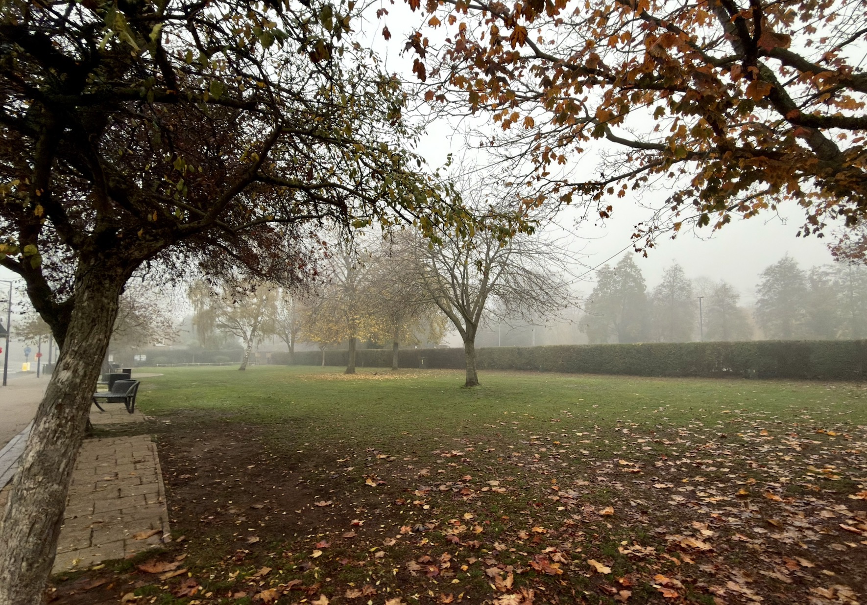
Nottinghamshire is forecast to have a cold and frosty start on Sunday 15 November before cloud thickens and rain moves across the county later in the morning.
A dry start, with frost possible and some early hill fog over higher ground. Rain is then expected to spread eastwards during the day, with temperatures reaching around 7C to 8C.


Early morning
Temperatures will be close to freezing in places after another cold night, with frost possible across Nottinghamshire.
Conditions should initially be dry, although cloud will increase through the morning. In Nottingham, the chance of rain remains low during the first few hours of the day before rising later in the morning.
Midday
Rain is expected to arrive by late morning and become more widespread around lunchtime.
The Nottingham forecast gives a 60% chance of rain at 11am, rising to around 80% at midday and 1pm, with some heavier spells possible. Temperatures will remain subdued at around 6C to 7C.
Afternoon
Rain is likely to continue through much of the afternoon, although it should generally become lighter.
The chance of precipitation remains around 70% at 2pm, falling to 60% by 3pm and around 50% by late afternoon. The temperature is expected to peak at around 7C to 8C.
Sunset is at around 4.09 pm.
Evening
Further outbreaks of light rain are possible into the evening, with the chance of precipitation remaining around 50% to 70% for several hours.
Temperatures will remain around 5C to 7C before gradually falling overnight.
Overall, Sunday looks noticeably more unsettled than Saturday, beginning cold and frosty before turning cloudy and wet from late morning onwards.
