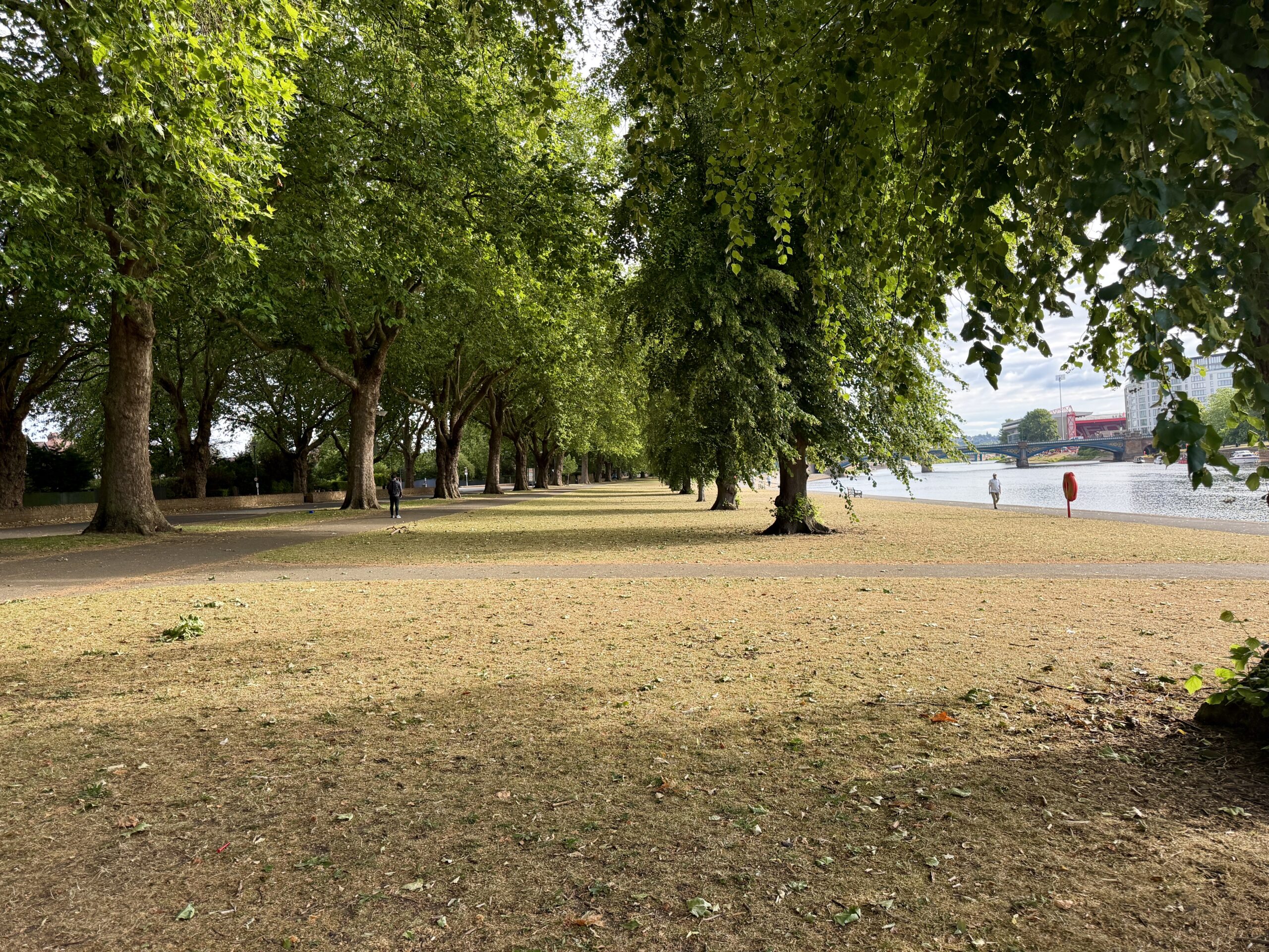
Parts of the UK are expected to experience another spell of heatwave conditions this week, although temperatures are not forecast to reach the exceptional levels seen during June’s heatwave.
In Nottinghamshire, the coming week is expected to start warm before temperatures rise further from Wednesday.


Monday is forecast to be very warm, with sunny spells giving way to cloud and highs of around 25C. Tuesday is expected to remain warm and windy, with highs of about 24C.
Temperatures are then forecast to climb, with Wednesday and Thursday reaching around 30C. Friday is expected to be the hottest day of the period, with highs of around 31C and a warning of possible dehydration and heatstroke risk during strenuous activity.
The weekend is expected to remain very warm, with highs of around 29C on Saturday and 28C on Sunday. Conditions should stay warm into the following week, with highs of around 26C on Monday and Tuesday, before slightly warmer conditions on Wednesday.
There is a chance of showers on Tuesday 14 July and some rain or showers on Wednesday 15 July, but the overall outlook remains warm to very warm for Nottinghamshire.
The Met Office said an area of high pressure will remain close to the UK, bringing extensive sunshine and light winds to many southern areas. This will allow temperatures to rise steadily through the week.

Much of southern England is expected to see temperatures climb into the low 30s Celsius from the start of the week, with some places potentially reaching 34C or 35C later in the week.
Forecasters said conditions are expected to be less humid than during the June heatwave, with lower peak temperatures and fewer exceptionally warm nights. However, many areas are still likely to experience several consecutive days of hot weather.
Steven Keates, Met Office Deputy Chief Forecaster, said parts of the UK were entering heatwave conditions for the third time this year.
He said: “Unlike the May and June heatwaves, we are not expecting this heatwave to be record-breaking. Temperatures this week are not expected to reach the highs we witnessed last month, though parts of southern England in particular are likely to see several days in the low 30s Celsius, and a few places could reach 34-35C later this week.
“Night-time temperatures again will not be as high as what we experienced in June, though some larger urban areas are likely to remain in the high teens Celsius overnight, especially later in the week, and there is a chance that a tropical night, where temperatures do not fall below 20C, may be recorded in a few places.
“Much of England and Wales will be hot, and the heat will extend to parts of Scotland and Northern Ireland too, though here peak temperatures are more likely to be in the upper 20s Celsius. With high UV and high temperatures, people should take the usual precautions with the heat and the sun.”
Parts of south-east England are expected to meet the official definition of a heatwave by the end of Monday. As temperatures continue to rise during the week, further regions are also likely to meet their local heatwave thresholds.
Forecast highs for southern parts of the UK are around 32C on Monday and Tuesday, rising to 33C on Wednesday and 34C on Thursday. Isolated locations could reach 35C on Friday and Saturday.
